
Keep Calm and Bird On: September 2022
“If you don’t look, you don’t see. You have to go and look.”
-Edith Andrews
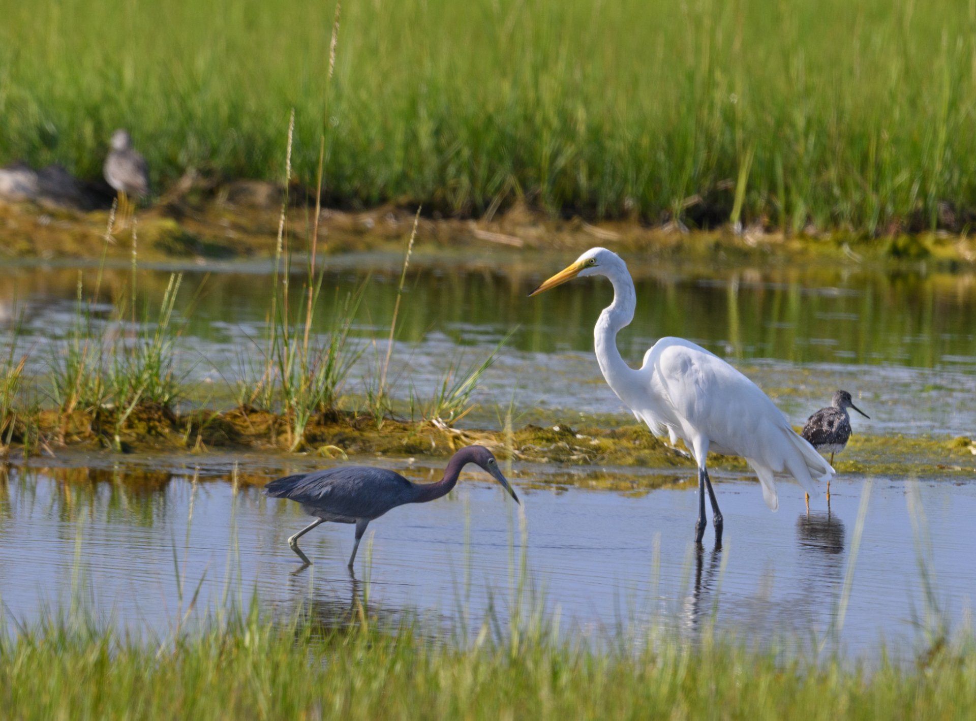
In September, fall migration picks up. And there are new tools to enjoy it with, thanks to Cornell’s BirdCast site. Their Migration Dashboard covers every county in the U.S. lower 48 States. Using radar, weather data, and decades of individual reports, their algorithms indicate what’s flying overhead and the most likely species. Like many algorithms, it’s not a perfect map—but definitely adds another dimension for understanding bird migration. And birders’ observations can only help it get better.
Just because the dashboard reported, say, that an estimated 3200 birds flew over Nantucket County during the hours of darkness one night doesn’t necessarily mean you will see them. They may be long gone by the time you roll out to the flats or woods to look by daylight. Nor will it make it any easier to identify those “confusing fall warblers” by sight. But it’s a pointer, an enhancement for developing a base of knowledge.
Cornell’s Merlin app helps with sounds, but the recorder has to be close enough to hear the chips, chucks, and chirps that are birds contact calls. That’s tricky if they are travelling at an altitude of 1700 feet, or there are interfering background noises like traffic, loud parties, or surf.
Technology definitely has its place, but to quote a Coast Guard Chief after a Cruise Ship ran aground off Sconset due to a GPS failure, “Modern technology is wonderful, but you have to look out the window once in a while.” So, whether you tote your technology along or leave it home, you still have to go out and look.
Recent Posts